
Tesla Robotaxi said it is now serving more of Dallas. The official account posted a bigger service-area map on Friday, 29 August, then a comparison overlay the same day. TeslaNorth filed both on Sunday, 30 August. The cars on that map are still Model Ys. The new outline is a geofence change in the existing Robotaxi app, not a Cybercab fare window.
The first still is a dark in-app map with a white line over central Dallas and Highland Park. The second, captioned “Computer, enhance! Now serving more of Dallas,” puts the old zone in gray and the new one in blue. TeslaNorth read the comparison as west past Highway 183, east toward Highway 635, and south of Highway 30 along I-35E. Tesla Robotaxi named the city. It did not name a new square-mile figure or a street list.
Dallas has been on the unsupervised Robotaxi map since Tesla opened the city with Houston in April. The starting Dallas pocket was about 30 square miles. Paid rides still run on the Model Y fleet. This week the network is on a 6 a.m. to 10 p.m. clock, seven days, across Austin, Dallas, Houston, Miami, Orlando, and Tampa. Tesla Robotaxi put that clock on the record on Wednesday, 26 August.
Thursday 3 September is a different file. That is the invite-only Cybercab event in Austin, already on this desk. Sunday’s Dallas map is not that event. It is a wider line on a city Tesla has been running since April.
TeslaNorth is the Sunday clip. The primary under it is the two Tesla Robotaxi posts dated 29 August. This page is using those dates, that caption, and the highway names TeslaNorth put on the comparison. If Tesla later publishes a square-mile number, that number can go in a rewrite. It is not here, because it is not on the posts.
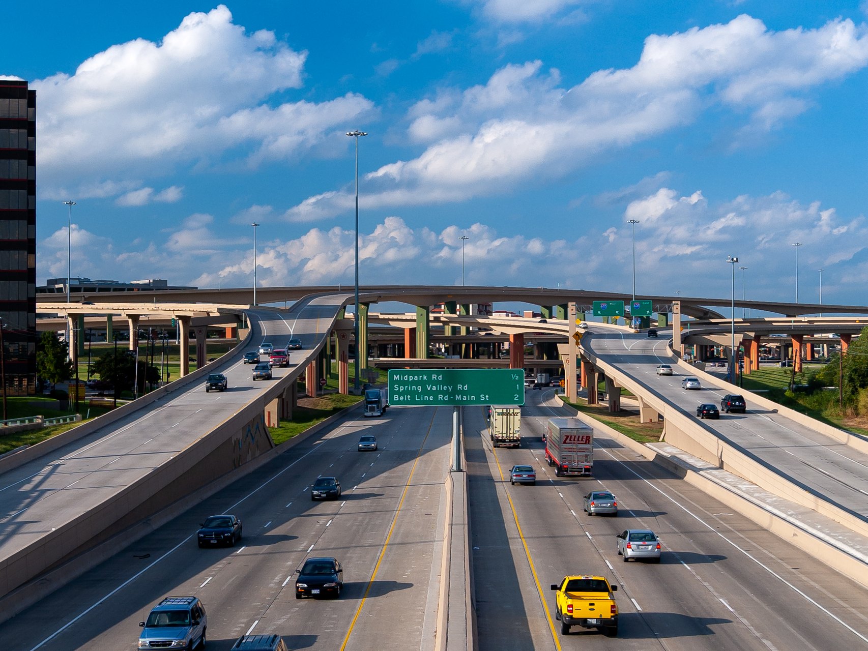
Highway 635 is the eastern tell. The High Five, where US 75 meets I-635 in north Dallas, is the knot most drivers already know. TeslaNorth’s reading of the blue overlay puts the new line toward that knot. Highway 183 is the western tell. I-35E south of Highway 30 is the southern tell. Those three names are how a newspaper can walk the map without inventing a block-by-block list Tesla did not publish.
The April opening is the other date that matters. Tesla opened Dallas and Houston together. The first Dallas geofence was about 30 square miles. Sunday’s map is larger than that pocket. How much larger is the number Tesla withheld. A city-named expansion with no area figure is still an expansion. It is also a reminder that the company is still measuring the work in outlines, not in a published fleet count.
The hours change is older than the Dallas outline by three days. On 26 August Tesla Robotaxi posted that Robotaxi now runs 6 a.m. to 10 p.m., seven days a week. We Talk Tesla and TeslaNorth both filed the graphic the same Wednesday. The six cities on that graphic are Austin, Dallas, Houston, Miami, Orlando, and Tampa. Tesla Support’s public language still says operating hours may vary by area. The app is the clock a rider actually gets.
Tesla’s own Q4 2025 shareholder update is the company baseline for the city list. At the start of 2026 it described Austin as “ramping unsupervised” and listed Dallas, Houston, Miami, Orlando, and Tampa as planned first-half markets. Dallas and Houston arrived in April. Miami, Orlando, and Tampa arrived in the summer, with Tesla saying unsupervised rides in those Florida cities in July. Wednesday’s hours post put one schedule across a six-market network in two states.
The original Austin experiment is still the yardstick. Not a Tesla App traces the public launch to June 2025, when about 20 Model Ys ran in Austin with a safety monitor in the front passenger seat. Tesla began testing unsupervised cars in Austin that December and started offering some public rides without an in-car monitor in January 2026. The Model Y is still the paid car in Dallas. Tesla has been staging Cybercabs in Dallas and Austin ahead of 3 September. Staging is not a fare.
Riders book in the Robotaxi app. They enter a destination inside the service area, review the estimated fare and wait time, and get a notification when the assigned vehicle is approaching. TeslaNorth’s next check is the useful one: whether the new Dallas outline is already live for every pickup in the city, and which Texas city gets the same treatment next. Houston opened with Dallas in April. A Houston overlay has not been posted with the Dallas pair.
Tesla did not publish a vehicle count with the Dallas map. It did not publish a vehicle count with the 26 August hours post either. That post said the unsupervised fleet was “a lot bigger” and that smarter vehicle distribution and routing should cut wait times. TeslaNorth noted the wait-time claim was about placement and routing, not a new Full Self-Driving version number. The Supervised builds on customer cars are a different stack. Robotaxi runs the unsupervised one.
Nevada is context, not this file. On 20 August the Nevada Transportation Authority approved Tesla for up to 5,000 robotaxis in Clark County. Tesla’s Cybercab chief engineer, Eric Early, told that hearing the 5,000 figure had always been a ceiling and that 2,500 in a year would be a result the company would be happy with. Dallas is not Nevada. Dallas is a wider line on an existing Texas city, on Model Ys, on a 6 a.m. to 10 p.m. clock.
The September 3 Austin event remains invite-only. RSVPs were due 11:59 p.m. Pacific on 30 August. Attendees must be 21. Tesla said it will livestream the launch. This Sunday file does not recut that invitation. It records the Dallas outline Tesla Robotaxi actually posted, the highways TeslaNorth could read on the overlay, the April opening, the 30-square-mile start, the Wednesday hours, and the six-city list. Those are the metrics on the paper.
A geofence is a permission slip drawn on a map. The old Dallas slip covered the centre and Highland Park. The new one reaches for 183, 635, and I-35E south of 30. Tesla named the city. TeslaNorth named the roads. The app will show a rider whether a pickup inside that blue line is live tonight. That is the check that turns a posted outline into a ride.
The paper
Comments
No notes on this story yet.
Sign in to comment